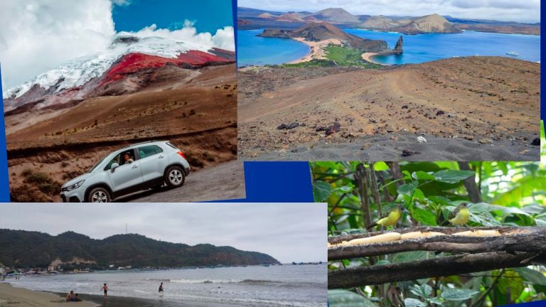
Ecuador truly is a compact version of South America, with its remarkably varied landscapes. From pristine beaches along the Pacific coast to the towering Andes Mountains, and then on to the unique Galapagos Islands and the lush Amazon rainforest, this country has something for everyone.
Ecuador’s four main regions showcase this natural diversity beautifully. The mainland’s geography is split by the impressive Andes range, which is, in fact, the longest continental mountain range in the world.
This division splits the mainland into three regions:
- La Costa or The Pacific Coast,
- La Sierra or The Andes, and
- El Oriente or The Amazon.
The fourth region is the famous tourist spot, the Galapagos archipelago.
Ecuador’s four regions have varied climates and physical characteristics. Understanding the variations across locations will assist you in narrowing down your trip options.
In this post, we will discuss and guide you through the different regions in Ecuador.
Looking back, navigating Ecuador’s diverse regions was a dream, but planning the right activities and accommodations took time. Skip the guesswork and get a FREE personalized Ecuador travel quote from trusted local experts who know the best spots for your needs and budget. Your booking supports this blog and helps local communities thrive.
Plan perfect trip to Ecuador & Galapagos
I spent countless hours researching everything about traveling to Ecuador, and I created this blog for fellow travel enthusiasts who want the best, most reliable information. But if you want to save time, we’ve partnered with the top local agency to plan your dream trip.
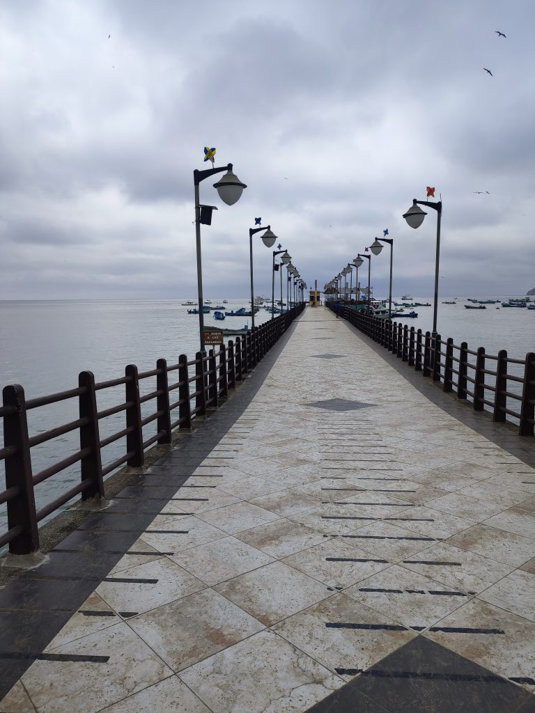
The Pacific Coast Region (La Costa)
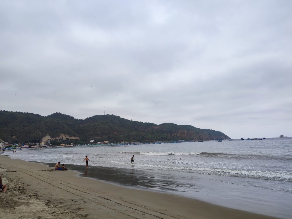
The Pacific Coast is a dream for beach lovers and adventure seekers alike. With sandy shores perfect for sunbathing, waves ideal for surfing, and some of the freshest seafood around, it’s easy to see why this region is so popular.
The coastal weather can be hot and humid, with a rainy season from January to April that brings a welcome coolness. The occasional dreary sky during this season might deter some, but clear days are still common, giving plenty of opportunities to enjoy the beautiful coast. It’s part of why we’re so drawn to the Pacific Coast—there’s always a chance to soak in the sun or catch a wave.
The Pacific Coast in Ecuador offers an inviting beach climate, averaging around 22º C (71.6º F). Winter falls from December to May, bringing with it the warmer Niño Stream current and an increase in rainfall. Summer, on the other hand, lasts from June to December, offering sunnier days perfect for beachgoers.
If you love beach vibes as much as we do, Manta and Salinas are must-visit spots. For a mix of relaxation and lively scenes, places like Montañita, Olón, Puerto Lopez, Puerto Cayo, Bahia de Caraquez, and Pedernales offer unique experiences along Ecuador’s gorgeous coastline.
The Andes Region (La Sierra)
Andean cuisine in Ecuador is a true treat! We found that many of the best dishes are in local markets, and they’re surprisingly affordable, offering a delicious taste of the region’s flavors. It was fascinating to see how the Sierra natives blend practicality and tradition in their clothing—wool garments adorned with bright accents like shawls, ponchos, and beautiful embroidered blouses. Even their hats have distinct styles that hint at their heritage, adding another layer to Ecuador’s cultural tapestry.
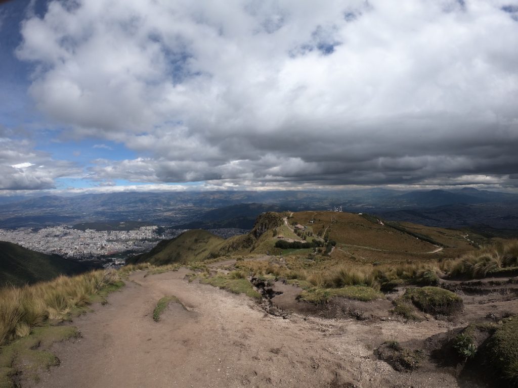
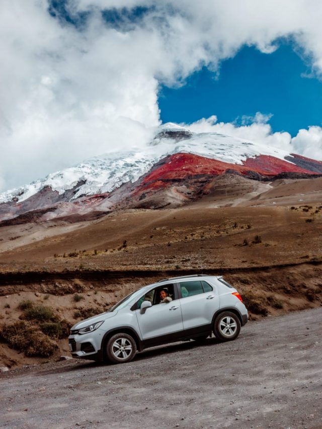
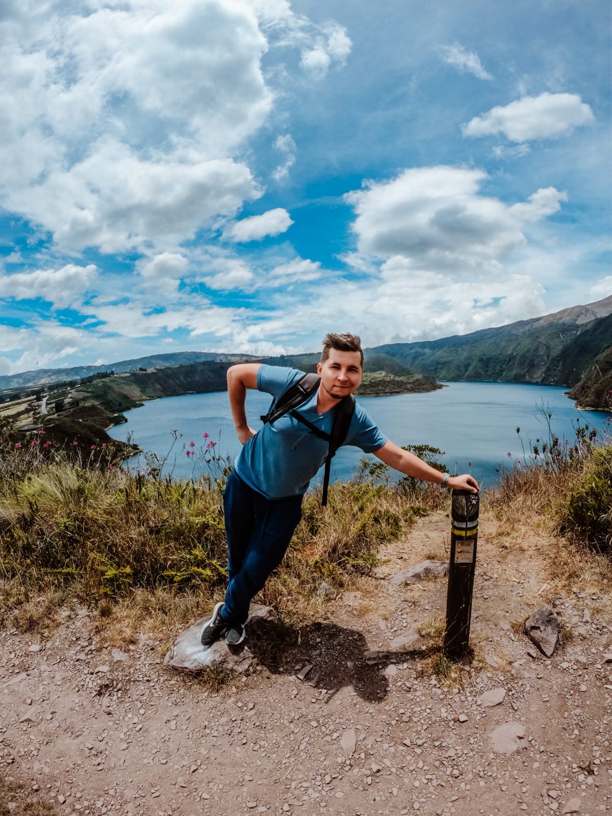
During our time in Quito, Cuenca, and Riobamba, we were constantly reminded of the Sierra’s dramatic landscapes. Surrounded by basins and shadowed by the majestic, snow-topped volcanic peaks of Chimborazo and Cotopaxi, the views were stunning.
We learned to always keep a cap, umbrella, and light jacket on hand because the highland climate can be quite unpredictable—warm during the day and chilly once the sun sets. The rainy season runs from October to May, with temperatures ranging from 12º C (53.6º F) to 18º C (64.4º F), so dressing in layers became essential for us in the Andes.
El Oriente (The Amazon)
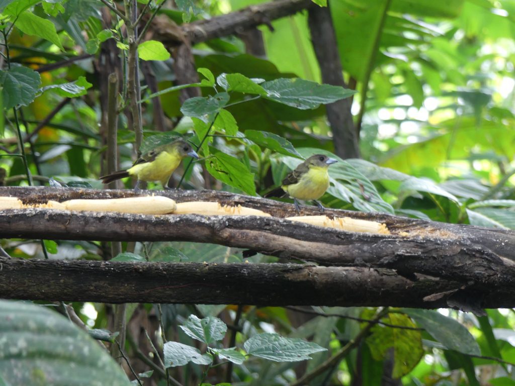
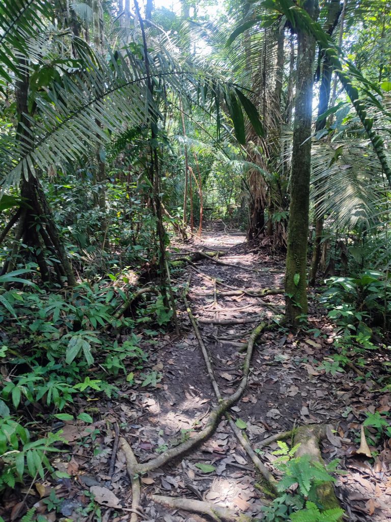
The Ecuadorian Amazon, with its vast 120,000 km² (74,564 miles²) of lush tropical rainforest, is nothing short of awe-inspiring. Known for its incredible biodiversity, intricate waterways, and adventure-packed tourism opportunities, it truly feels like a world of its own.
We noticed that much of the Amazon is untouched, with only a few sections accessible by roads or navigable rivers. Those accessible areas often have mining and oil activities, which reminded us of the delicate balance between preservation and progress.
The Amazon climate is typically tropical, meaning it’s warm, humid, and often rainy, so packing light, moisture-wicking clothing was a must for us. With average temperatures between 24° C (75.2º F) and 25° C (77º F), it was a perfect environment for the rich flora and fauna that we were so eager to see.
Our Amazon experience was unique, especially with how the dry season varied across locations. In Cuyabeno, we were fortunate to visit in January when rain is scarce, while other areas down south saw their peak rains during that time. It’s fascinating how this vast rainforest has its own regional quirks in weather patterns.
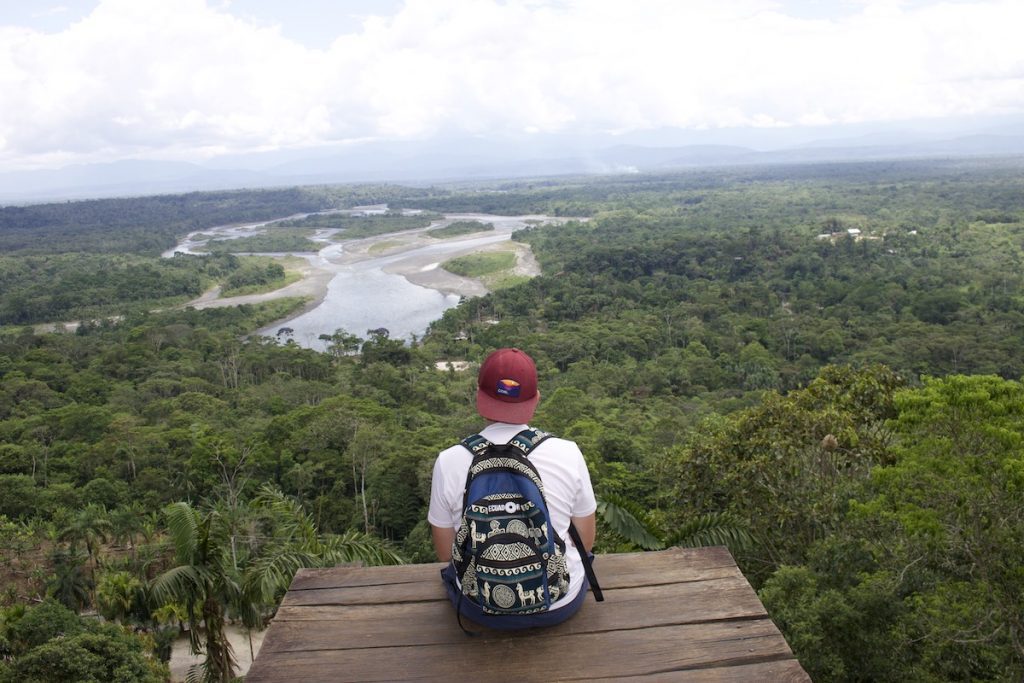
Despite the Amazon Basin’s expanse from Colombia to Peru, most visitors, like us, start from Quito in the north. Places like the Cuyabeno Wildlife Reserve and Yasuni National Park were unforgettable, with both needing either a boat or plane ride to reach, adding a sense of adventure right from the start.
Have questions about your upcoming Galapagos trip? Join my Galapagos Reddit community and ask other travelers who recently visited the islands. Get up-to-date tips, real experiences, and honest advice from other travelers (I ban tour agencies and resellers).
Traveling along the Amazon Troncal, the E-45, gave us a chance to explore more of Ecuador’s hidden gems beyond just the iconic Amazon destinations. Towns like Tena, Puyo, Maca, and Zamora offer that perfect mix of adventure and tranquility. We found rivers ideal for rafting or kayaking, and hiking paths leading us to waterfalls and wildlife habitats that felt straight out of a nature documentary.
The E-45 also makes it easy to access the Cayambe-Coca Ecological Reserve and Sangay National Park. Each stop along this route has its own character and charm, making it a must for any nature lover visiting the region.
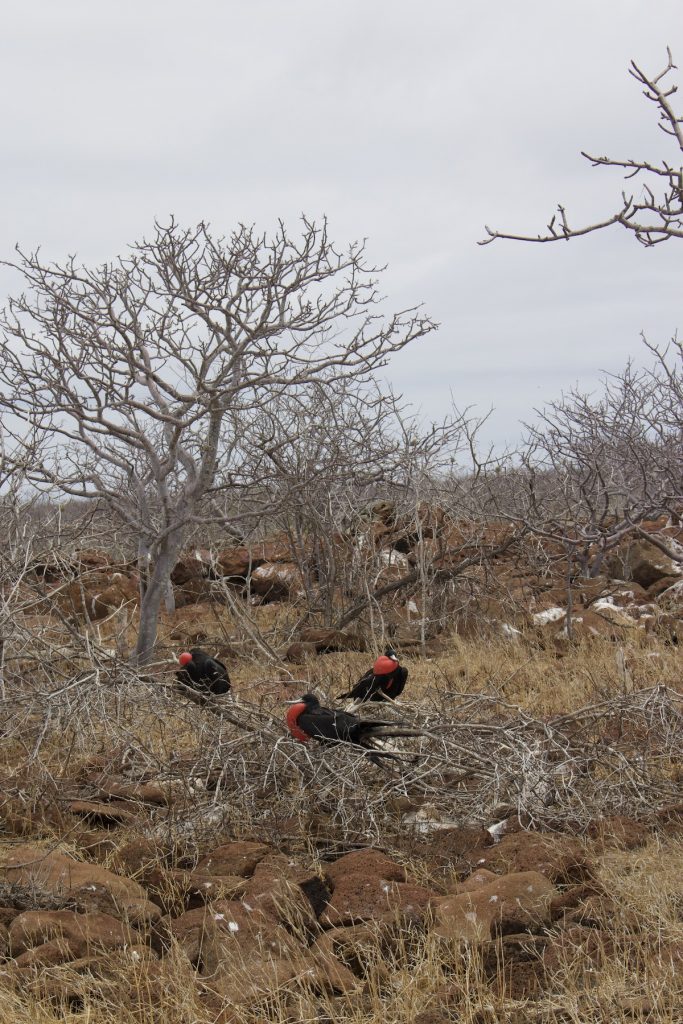
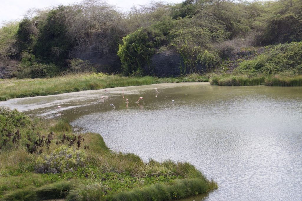
Islas Galapagos (The Galapagos Islands)
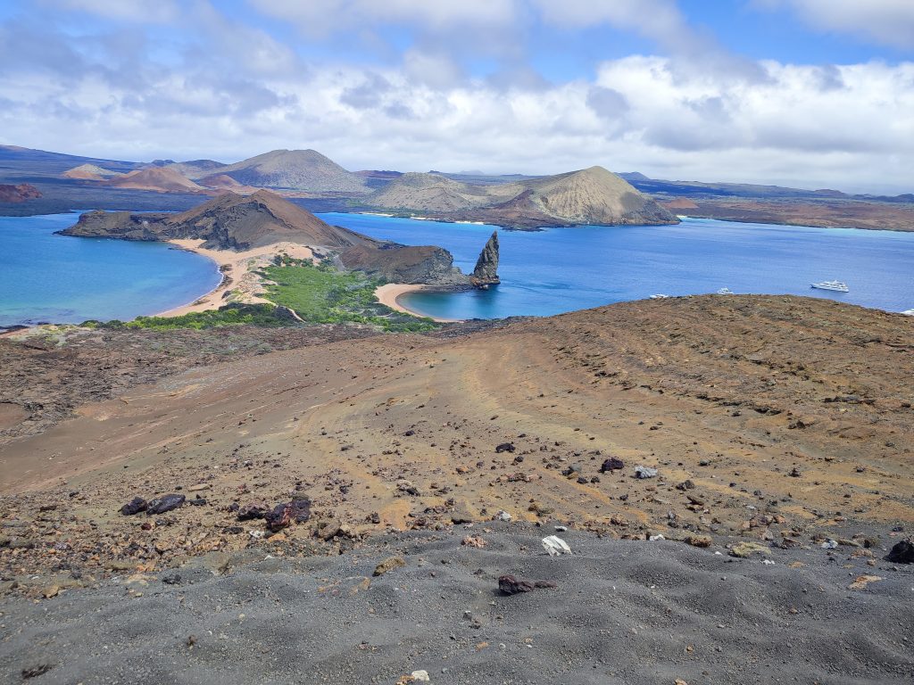
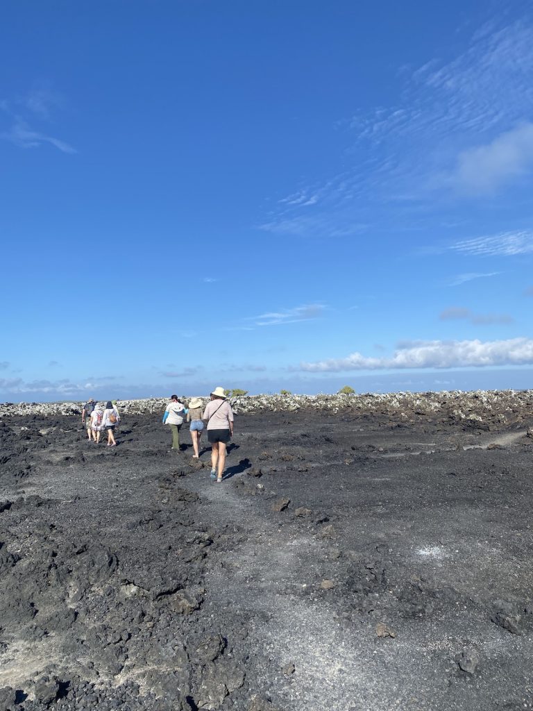
The Galapagos Islands are a volcanic paradise, sitting about 1,000 kilometers off Ecuador’s coast, covering around 8,000 square kilometers of unique landscapes. We found the islands constantly warm, but be prepared—temperatures can soar, bringing both intense heat and humidity. It’s all part of the charm, making each visit feel like an authentic tropical experience.
Whether you’re hiking up volcanic terrains or enjoying the beaches, the islands’ climate is as distinct as the wildlife it nurtures.

Thanks to the Humboldt current, June through November in the Galapagos brings cooler, drier weather with overcast skies and a bit of chop in the seas. We visited in September and found the weather perfect—not too hot, with just the right amount of humidity. The cloudy skies kept things comfortable, and the occasional misty breeze added to the unique island feel. It’s a great time to explore without battling intense heat, and there’s minimal rain, making it ideal for longer hikes and wildlife spotting!
The Galapagos Islands serve up a delightful mix of Ecuadorian coastal flavors and international favorites. Seafood lovers will be in heaven with dishes like ceviches, encocados, and fresh grilled fish, all brought from the mainland’s rich culinary tradition. At the same time, thanks to the diverse tourist crowd, you’ll find plenty of options like burgers, pasta, and pizza to satisfy cravings for familiar flavors. While we couldn’t get enough of the incredible seafood, it was also a nice touch to enjoy some comforting tastes from home amidst the islands’ unique setting.
Planning trip to Ecuador?
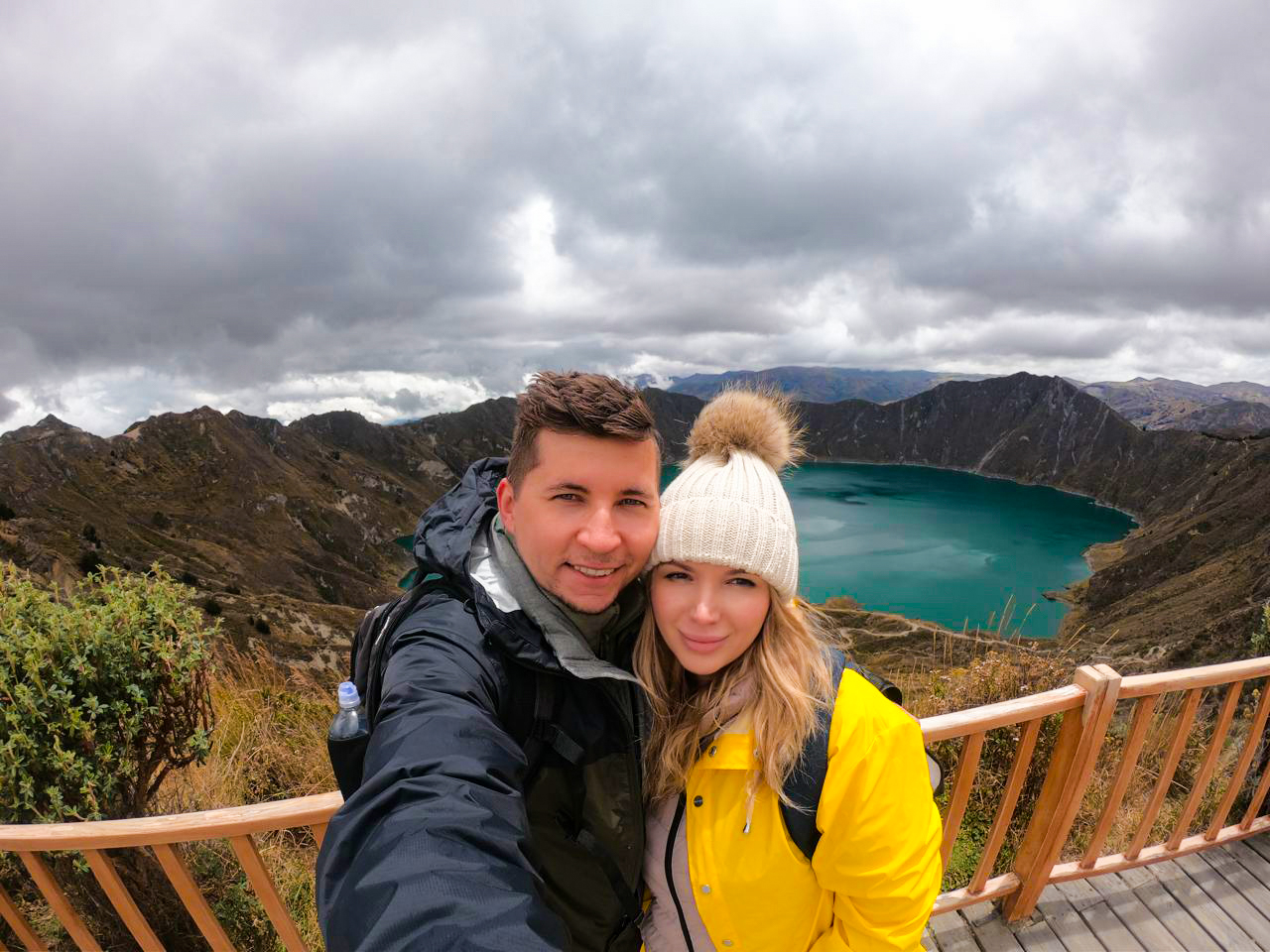
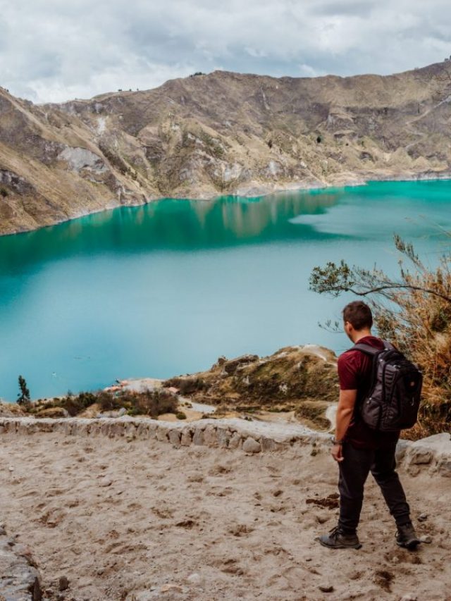
My wife and I rented a car for 15 days and traveled from the northern part of Ecuador to the south, visiting amazing cities like Quito, Otavalo, Baños, Cuenca, and Guayaquil. Along the way, we explored iconic places such as Cotopaxi National Park, Quilotoa Lake, and many more breathtaking destinations.
Not many blogs cover traveling in Ecuador in detail, so I spent nearly three weeks creating this comprehensive Ecuador travel guide based on our trip. It’s packed with everything you need to know, and honestly, I consider it the best free travel guide about Ecuador out there.
If you’re planning a trip to Ecuador, don’t forget to use my link for discounted hotel prices through Booking.com. It’s a great way to support my blog while saving money on your accommodations!
Conclusion
With this overview of Ecuador’s distinct regions, you’re ready to start planning your ideal travel itinerary! From the lush Amazon and coastal beaches to the towering Andes and extraordinary Galapagos Islands, Ecuador has so much to offer. If you’re looking to visit, you can truly experience the country’s beauty through a range of tours that showcase the best each area has to offer. Check out our other blog posts for more insights on our Ecuador journey, where we share tips and insider knowledge to help make your next trip unforgettable.
Plan perfect trip to Ecuador & Galapagos
I spent countless hours researching everything about traveling to Ecuador, and I created this blog for fellow travel enthusiasts who want the best, most reliable information. But if you want to save time, we’ve partnered with the top local agency to plan your dream trip.