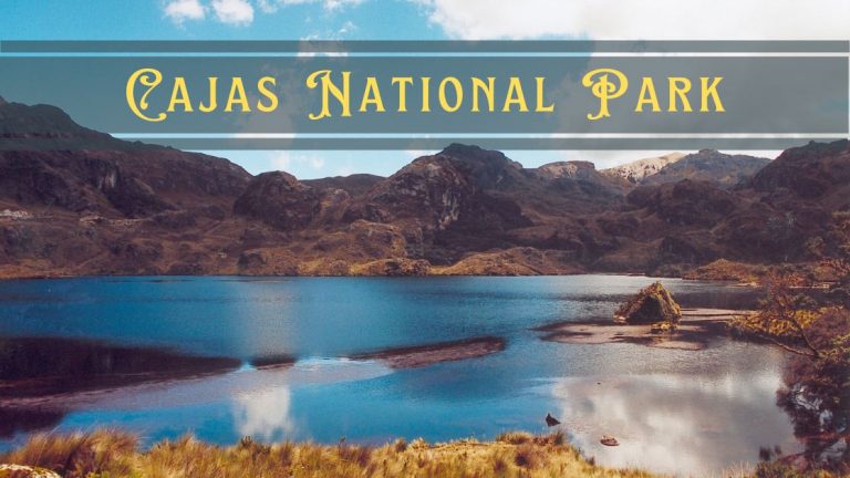
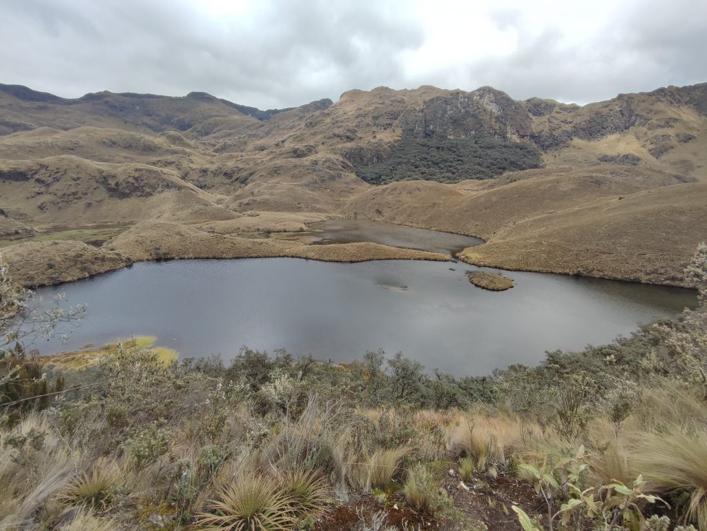
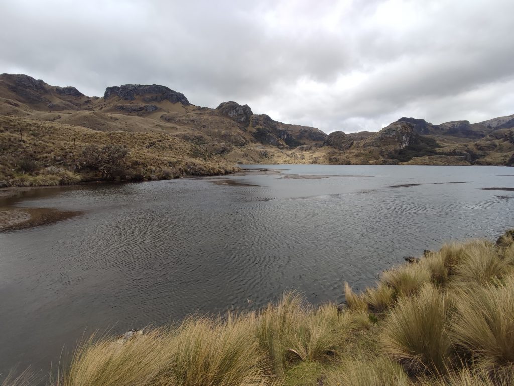
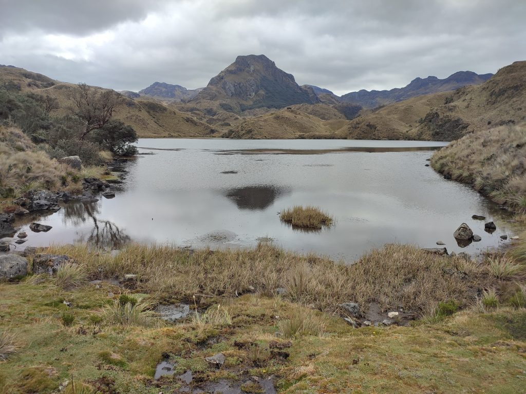
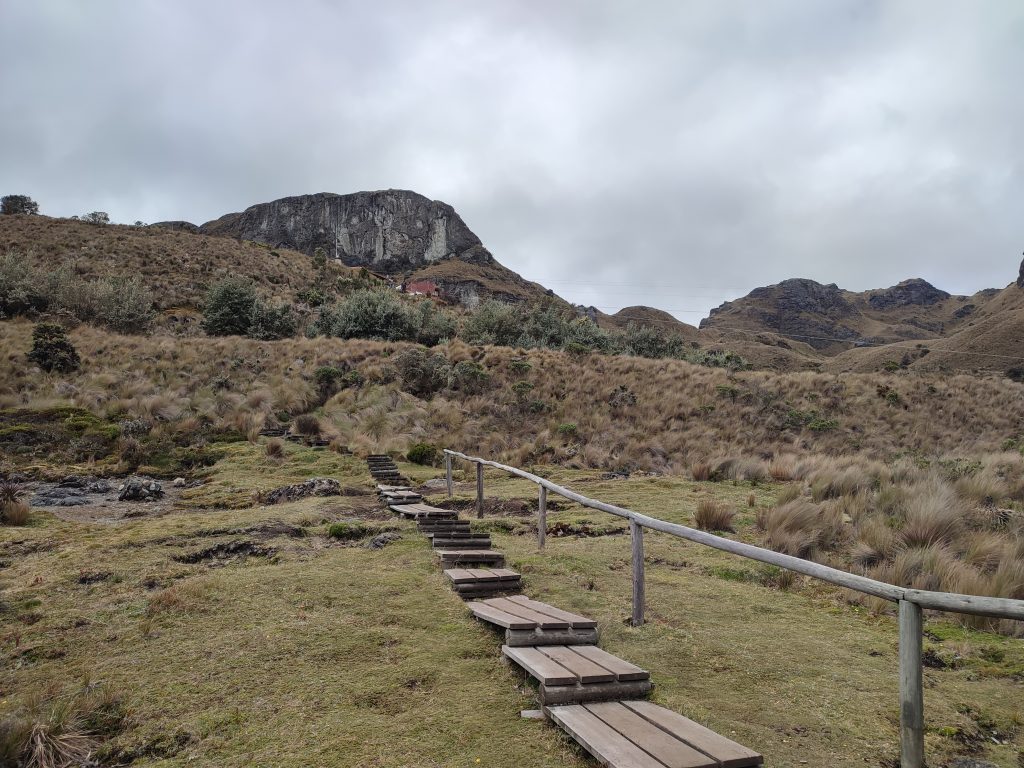
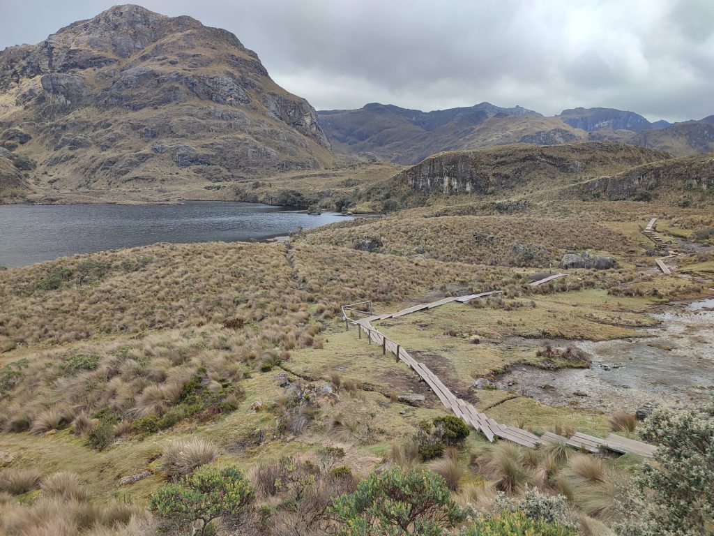
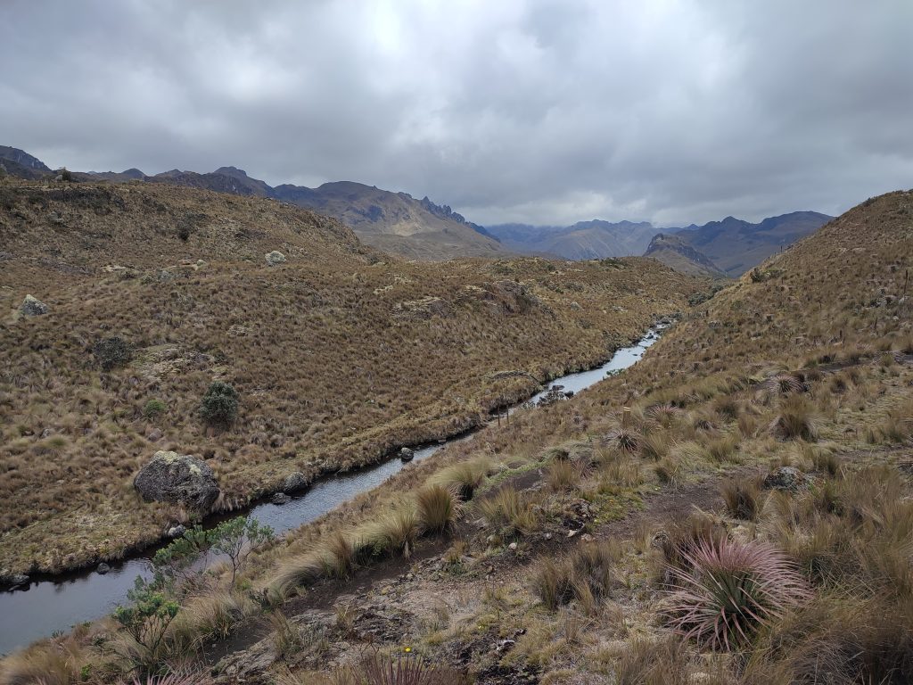
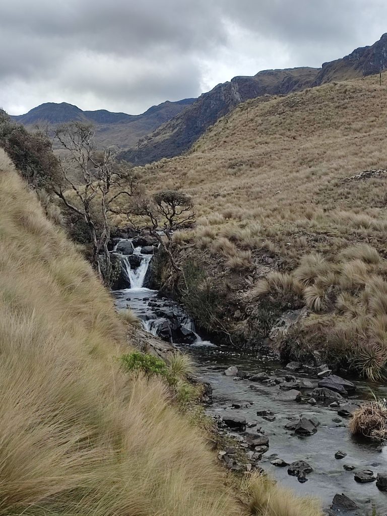
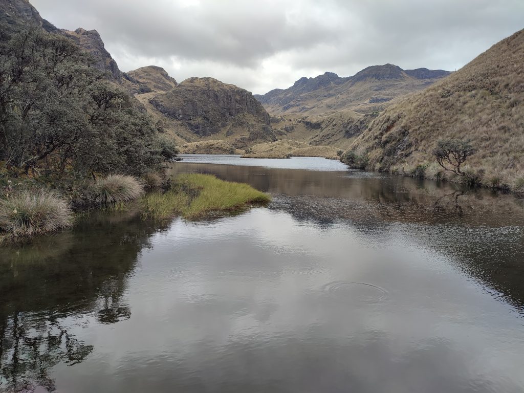
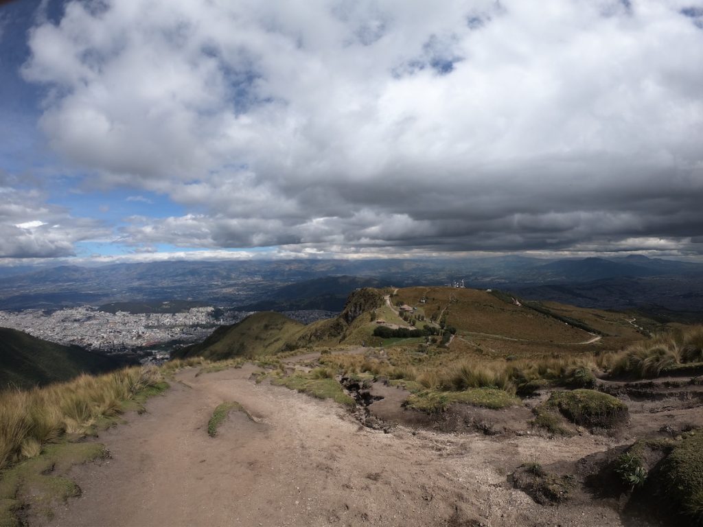
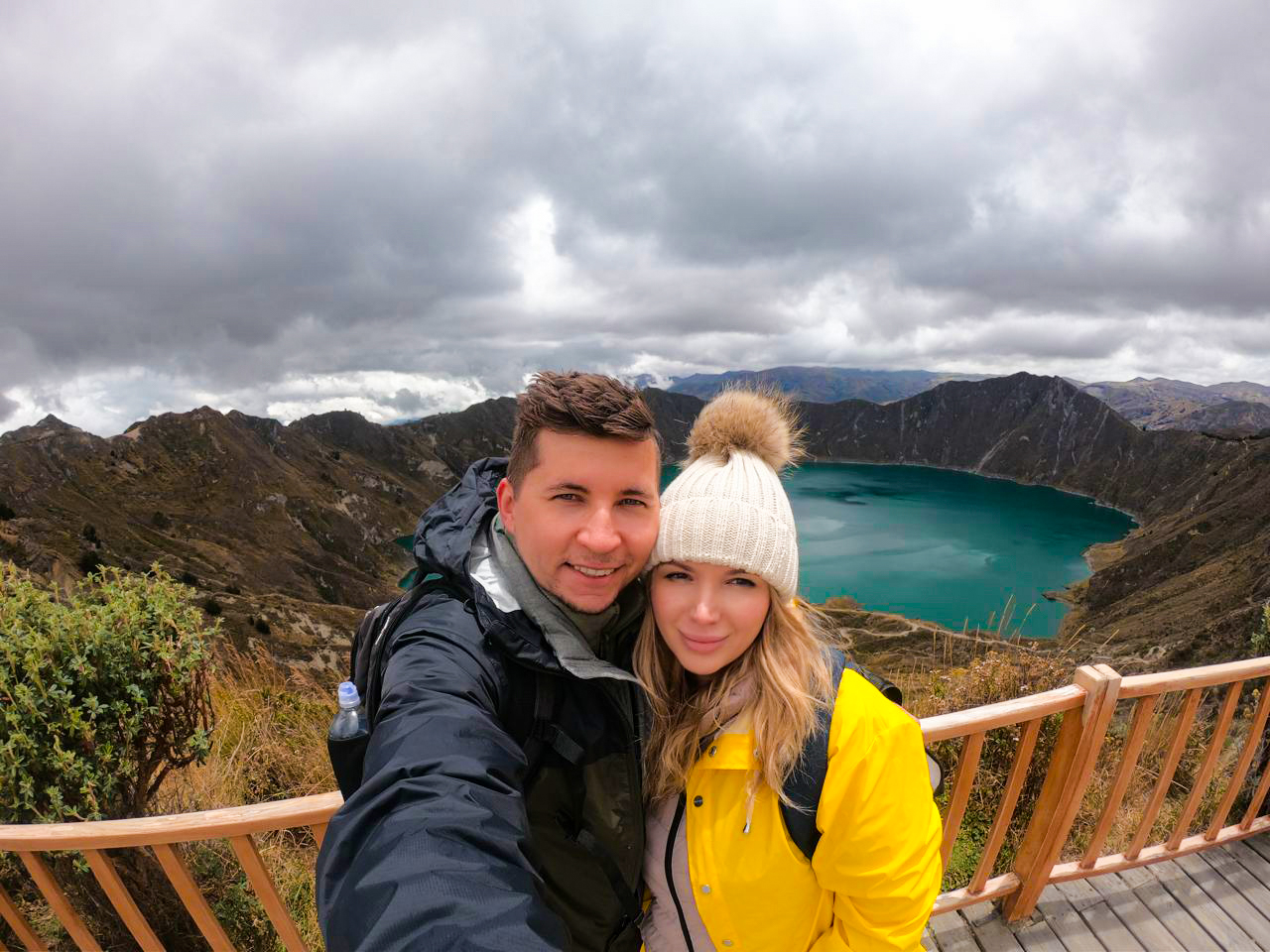
Cajas National Park is truly a natural wonder that offers an incredible escape into nature. Being less than an hour from Cuenca made it an easy choice for us during our travels in Ecuador. The park’s diverse landscapes, reminiscent of the Scottish highlands, immediately captivated us with its steep green mountains and crystal-clear lakes.
As we explored the park’s 28,000 hectares, we marveled at the breathtaking glacier valleys, moors, and forests. The abundance of pristine mountain lakes provided a perfect backdrop for our adventure. One of the highlights was spotting the local wildlife; we were fortunate enough to see some Andean Condors soaring above us, and we even caught a glimpse of a Spectacled Bear in the distance. I also loved watching the colorful hummingbirds flit about and the wild alpacas grazing peacefully.
Planning a visit to Cajas National Park can be as unpredictable as its weather, especially with its high altitudes and intricate trails. During our trip, figuring out the logistics and preparing for the climate took time and effort—but it doesn’t have to for you. Get a FREE personalized itinerary crafted by trusted local experts I collaborate with. They’ll make sure your Cajas adventure is seamless, unforgettable, and hassle-free while supporting local Ecuadorian communities.
Table of Contents
Plan perfect trip to Ecuador & Galapagos
I spent countless hours researching everything about traveling to Ecuador, and I created this blog for fellow travel enthusiasts who want the best, most reliable information. But if you want to save time, we’ve partnered with the top local agency to plan your dream trip.
Traveling to Cajas National Park
El Cajas National Park is indeed quite accessible, making it an ideal stop during our travels. We decided to visit the park while driving from Cuenca to Guayaquil, and it turned out to be one of the best decisions we made.
For those looking to spend the night or more in the park, I highly recommend booking a Cajas National Park tour, as these packages often include transportation to and from the park. This makes the experience even more convenient.
If you prefer to travel independently like we did, reaching the park is simple. We took an Occidental bus from Cuenca’s Terrestre bus station, which departs frequently. Just a tip: it’s always a good idea to check the departure schedules at the station, as they can sometimes vary.
Getting back to Cuenca from the park was really straightforward for us. There’s just one official bus stop in the park, conveniently located right on the main road in front of the visitors center. All we had to do was wave at a bus heading towards Cuenca, and it would stop to transport us back to the Terrestre station. It was as easy as that!
Trails in Cajas National Park
El Cajas has something for every outdoor enthusiast, no matter the skill level. For those like us who love nature without wanting to dive into extreme activities, there are shorter trails that only span a few hundred meters. For the more adventurous, though, there are longer hikes that require multi-day efforts and outdoor camping. Here are a few of our top trail recommendations in Cajas!
Uku Trail
The Llaviucu Lagoon Trail is a 1.7-kilometer loop that circles the beautiful Llaviucu Lagoon. My wife and I found this path to be perfect for birdwatching and enjoying a peaceful fishing experience from the lakeshore. The serene surroundings make it an ideal spot to relax and take in the stunning natural beauty of Cajas.
Toreadora
From the tourist center, walk 2.2 kilometers around Toreadora Lake on flat terrain.
Ilincocha
This trail is short but worth it! It is a 300-meter trail that is ideal for birdwatching and features a little Polylepis (Quinoa) high-altitude woodland.
Nature and Human History Trail
The Toreadora to Lagunas Unidas and Totoras Trail is a challenging 4.2-kilometer trek that my wife and I tackled during our visit. This journey takes you through beautiful Polylepis woodland at the foot of Cerro San Luis. The trail offers a rewarding experience for those willing to take on the challenge, with breathtaking views along the way that made the effort worthwhile.
Cerro San Luis Trail
The Cerro San Luis Trail is a 2.2-kilometer track that my wife and I found to be more challenging but incredibly rewarding. This hike takes you to the peak of Cerro San Luis, which stands at 4,264 meters. When we reached the top, we were treated to stunning panoramic views on a clear day that made the climb absolutely worth it.
Cajas Inca Trail
The Osohuaycu Trail is a longer 18-kilometer journey that we embarked on, taking us two days to complete, including an overnight camping experience. It was an adventure we won’t forget!
Additionally, there are several other trails in Cajas that are worth exploring. We found Quinuas Valley, which is 8.1 kilometers, Encuentro con las Burines at 5.3 kilometers, and the Great Osohuaycu, which spans 12.2 kilometers. Each of these trails offers its own unique scenery and challenges, making them great options for hikers of all levels.
Wildlife and Nature in Cajas National Park
Flora
Have questions about your upcoming Galapagos trip? Join my Galapagos Reddit community and ask other travelers who recently visited the islands. Get up-to-date tips, real experiences, and honest advice from other travelers (I ban tour agencies and resellers).
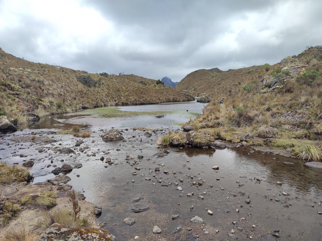
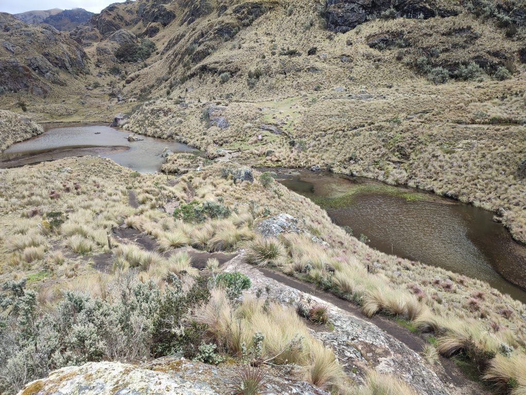
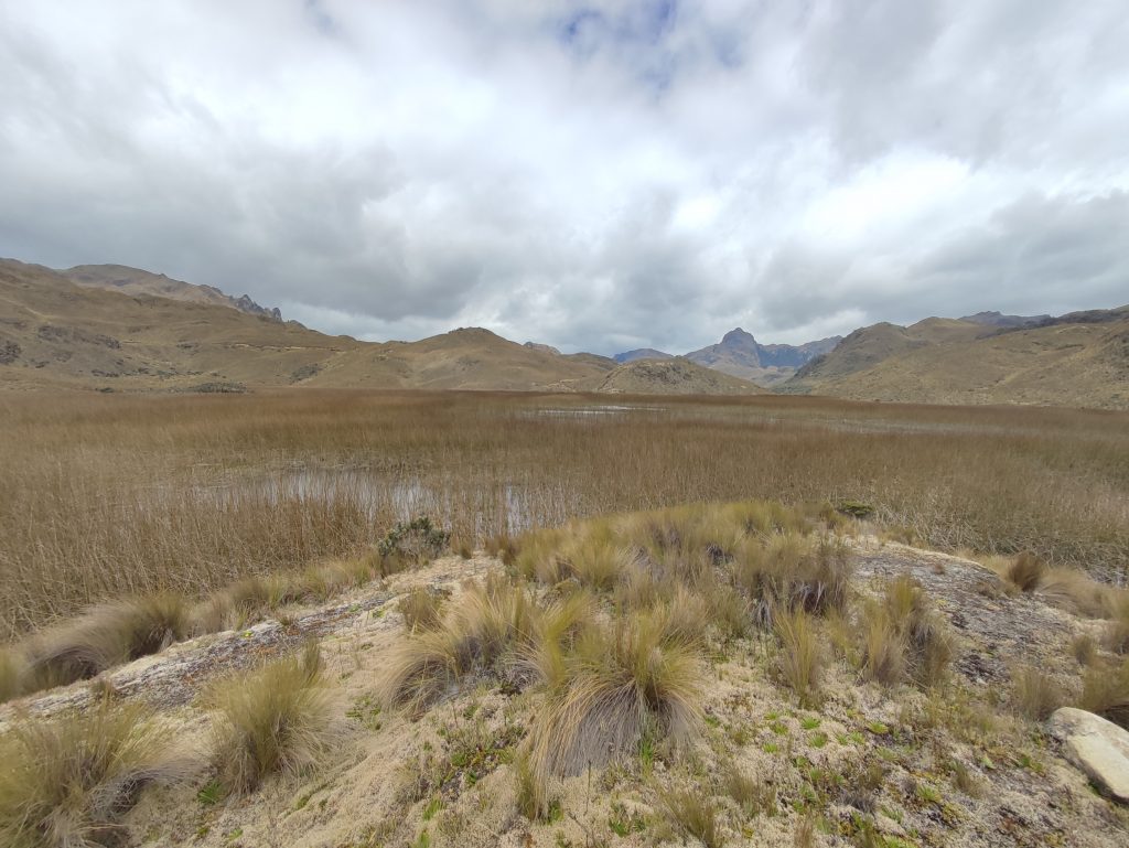
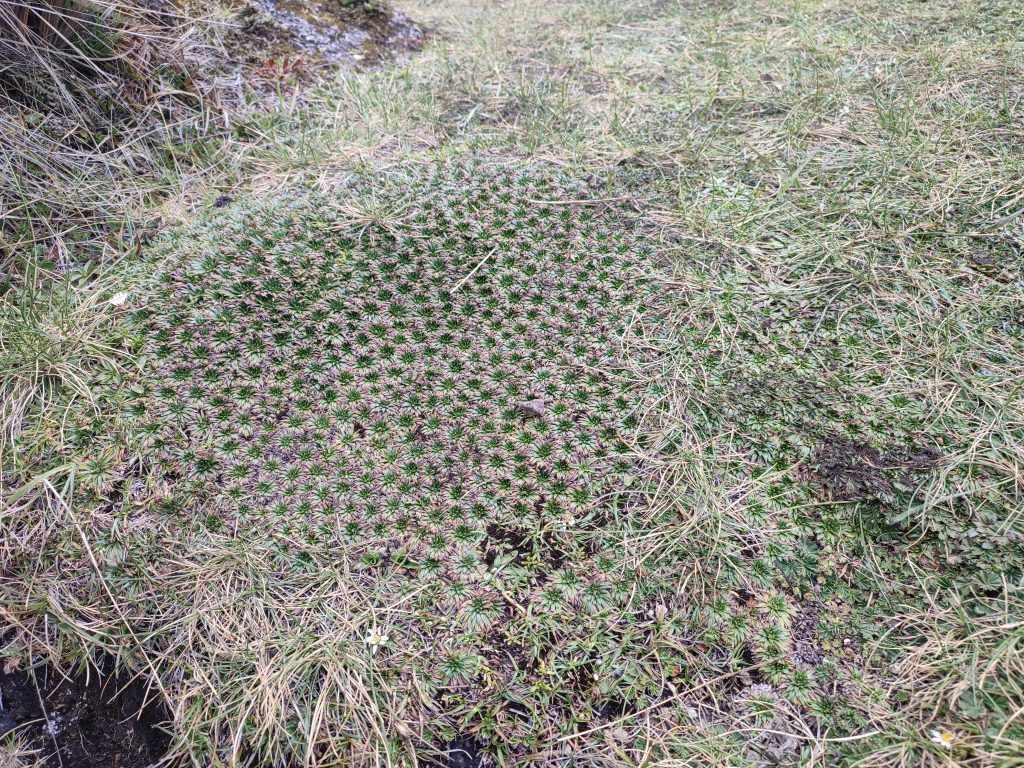
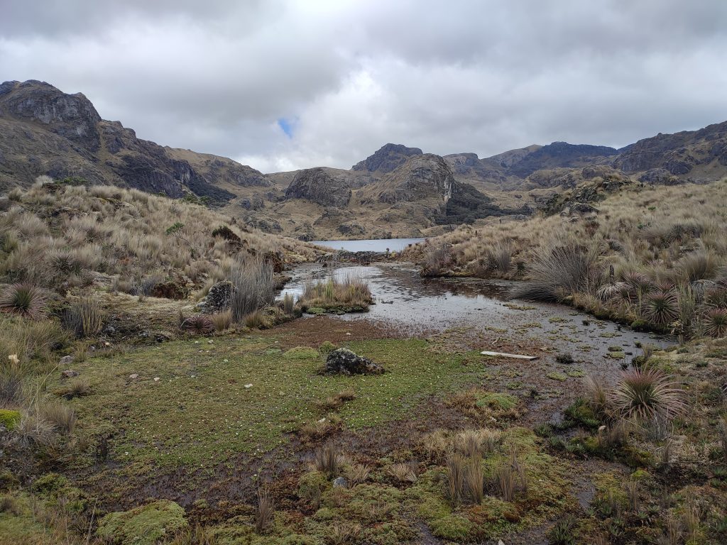
The Andean Paramo environment is exposed and tough for plant life, but we found fascinating plants if we knew where to look. The dominating plant in the area is straw grass, which grows almost everywhere. We also came across unusual cushion plants; their spongy quality is ideal for absorbing and storing water, which is then gently released.
These plants are essential for regulating humidity in the local ecology and ensuring a consistent water supply for Cuenca’s rivers. We were captivated by the tiny high-altitude flowers that brightened the green cushion carpet with yellows, reds, and purples.
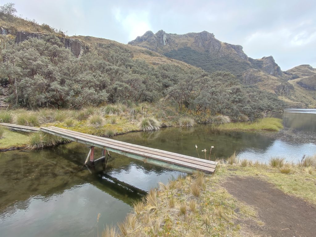
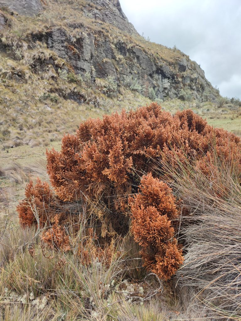
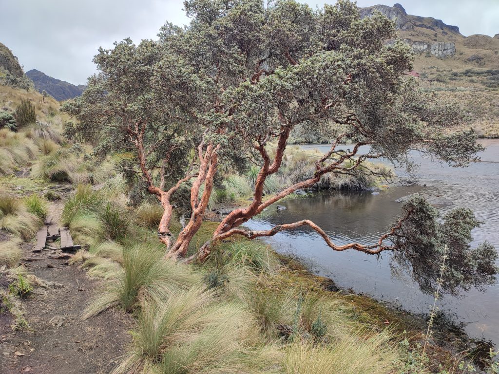
The Polylepis (Quinoa) — the world’s highest altitude tree — is perhaps the most remarkable plant we encountered at Las Cajas. It caught our attention with its thin, red-brown, peeling bark, earning it the nickname “the paper tree.” We were fascinated by how these trees had a lot of twisted and curling limbs, reminiscent of something out of a haunting fantasy woodland.
Fauna
Las Cajas is home to a plethora of animal species, though spotting them can be a bit challenging. During our visit, we saw some of the more common animal sightings, like llamas, alpacas, deer, Andean foxes, wild horses, and rabbits. However, we were also on the lookout for the shyer species, such as pumas, Andean bears, coatis, weasels, skunks, porcupines, and the unique Cajas water mouse.
We were fascinated to learn that Cajas is not just a Ramsar Wetland of International Importance for migrating birds but also home to 157 different bird species!
While the Andean Condor is often the major attraction for birders like us visiting Cajas, we were thrilled to see other colorful species, such as parrots, toucans, tanagers, and guans. Among the 24 hummingbird species present at Cajas National Park, we kept an eye out for the gigantic hummingbird (Patagona gigas), which is the world’s largest species. We also hoped to catch a glimpse of the rare Cajas indigenous violet-throated metal tail (Metalura gorjivioleta) during our exploration of the park.
Altitude and Weather in Cajas National Park
Cajas National Park is situated at a high elevation of 3,160 to 4,450 meters. Acclimatization is crucial for us before trekking in the park to avoid altitude sickness and to fully enjoy our trip. Staying hydrated was especially important at this altitude. We noticed that, because there is less oxygen to breathe, some people, including us, tended to tire out faster than usual.
The weather in Cajas National Park is quite unpredictable, so it’s best for us to come prepared. During our visit, we noticed that Cajas receives a lot of rain, which was the main reason we didn’t hike. The weather is generally chilly, but not freezing; it can be rainy and muddy, with clouds frequently rolling over the hills due to the high altitude.
We found that checking the weather forecast ahead of time and dressing accordingly was a good strategy. Ecuador’s dry season lasts from June to September, but we learned that it can rain at any time of year.
Exploring the breathtaking landscapes of Cajas National Park is a must, but planning the perfect trip there can feel overwhelming. Save yourself the guesswork and get a FREE customized travel plan from trusted local specialists. They’ll ensure your visit is smooth and memorable while helping support this blog and Ecuadorian conservation efforts.
What to Bring
Bottom Line
Las Cajas National Park in Ecuador has everything for everyone. We were amazed by the awe-inspiring landscapes carved by ancient glaciers, the abundance of birds around the crystal-clear lakes, and the unique flora and wildlife. With a network of pathways for hikers and environmental enthusiasts, Las Cajas National Park truly is an enticing destination for travelers. With its rugged and natural beauty, we believe this Ecuadorian landscape is a must-visit place, and we highly recommend seeing it for yourself!
Plan perfect trip to Ecuador & Galapagos
I spent countless hours researching everything about traveling to Ecuador, and I created this blog for fellow travel enthusiasts who want the best, most reliable information. But if you want to save time, we’ve partnered with the top local agency to plan your dream trip.

Hello,
We are going in July this year and we want to go to Las Cajas NP. We were looking online for the trails and some of the trails read for example 3 km but if you look on the map it looks like a one-way trail from one point to the other. How do we get back to the starting point (where our car will be). Is the trail like.. getting there and then walk the same route back. Or is that the end of the trail and we have te see how we get back? I cannot find this anywhere online. Hope you have the answer for me.
Not much information indeed. The trail has one major entrance (and several smaller ones). We arrived to the official entrance and you’ll see many different trails paths from there. We spent the whole day in the park walked over 22 kms, but there are smaller trails available e.g. the one you referred. It could be one-way but you can make it as a loop too. You can create your own route. There is a map on the entrance so you can have an idea of your a route.